SATELYZER
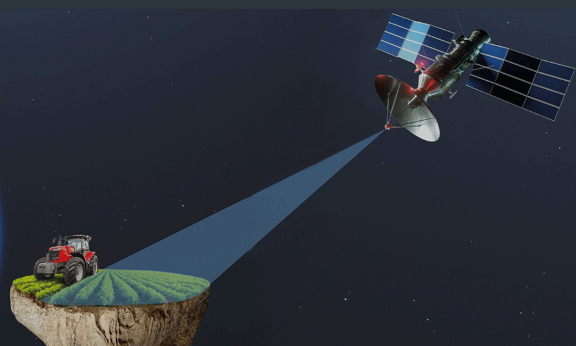
Bried descriptinon: "Satelyzer" processes agricultural land using satellite images.
Application areas:
-
- Agricultural areas owned by farmers (direct services to farmers – acting as a third party in bank-farmer or insurance company-farmer relationships, etc.);
- Agricultural areas owned by the state;
- Forests (services related to forest protection).
The service consists of two parts:
-
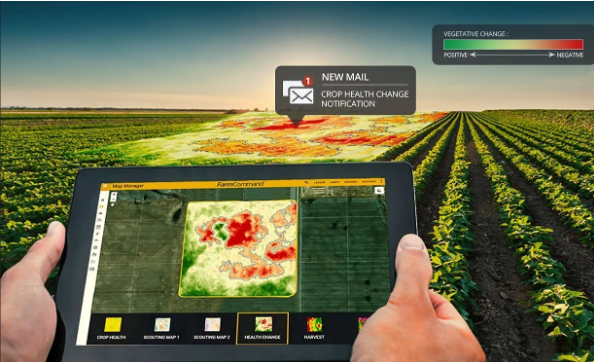
- A website;
- Data obtained via remote sensing.
Key features/advantages:
-
- Unlike competing products, it provides farmers and agricultural specialists with more accurate information about crop monitoring, efficient resource management, and increasing productivity.
- It offers solutions such as creating crop type maps, evaluating farmland, determining the optimal timing for irrigation, fertilization, and harvest, forecasting weather conditions, determining soil health and moisture levels, early detection of plant diseases and pests, and predicting future crop volume and quality.

